 vesseltracker.com
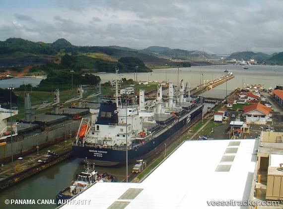
Vessel CETUS BOWHEAD IMO: 9670755, MMSI: 538010821 Cargo
UTC, 2.97880, 101.32340, course: 55, speed: 0
UTC, 2.97880, 101.32337, course: 55, speed: 0
2026-03-20 15:50:28 UTC, 2.97833, 101.32333, course: -1, speed: 0
Live Vessel CETUS BOWHEAD Analytics (details, animations, etc.)
Live AIS position: UTC. Near PORT KLANG), updated 2026-03-20 15:50:28 UTC.Find the position of the vessel CETUS BOWHEAD on the map. The latter are known coordinates and path.
marine traffic ship tracker show on live map
The current position of vessel CETUS BOWHEAD is 2.97833 lat / 101.32333 lng. Updated: 2026-03-20 15:50:28 UTCCurrently sailing under the flag of Marshall Islands
Details:
Last coordinates of the vessel:
UTC, 2.97879, 101.32339, course: 55, speed: 0UTC, 2.97880, 101.32340, course: 55, speed: 0
UTC, 2.97880, 101.32337, course: 55, speed: 0
2026-03-20 15:50:28 UTC, 2.97833, 101.32333, course: -1, speed: 0