 vesseltracker.com
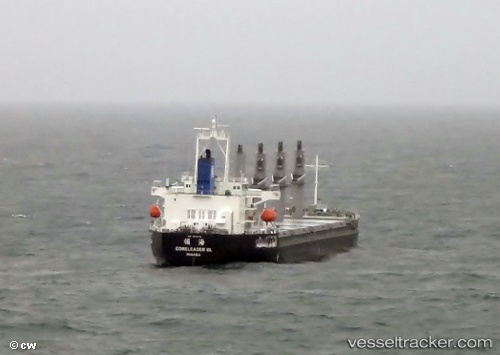
Vessel MANTA MERVE IMO: 9597678, MMSI: 538011260 Bulk Carrier
UTC, 26.19439, 50.70764, course: 334, speed: 0
UTC, 26.19446, 50.70772, course: 334, speed: 0
2026-02-25 09:25:19 UTC, 26.19445, 50.70767, course: 334, speed: 0.1
Live AIS position:
UTC. Near KHALIFA BIN SALMAN),
updated 2026-02-25 09:25:19 UTC.
Find the position of the vessel MANTA MERVE on the map. The latter are known coordinates and path.
marine traffic ship tracker show on live map
The current position of vessel MANTA MERVE is 26.19445 lat / 50.70767 lng. Updated: 2026-02-25 09:25:19 UTCCurrently sailing under the flag of Marshall Islands
Details:
Last coordinates of the vessel:
UTC, 26.19442, 50.70766, course: 334, speed: 0.1UTC, 26.19439, 50.70764, course: 334, speed: 0
UTC, 26.19446, 50.70772, course: 334, speed: 0
2026-02-25 09:25:19 UTC, 26.19445, 50.70767, course: 334, speed: 0.1