 vesseltracker.com
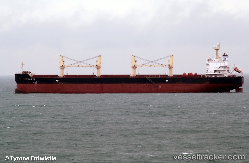
Vessel ANGELE N IMO: 9509528, MMSI: 538011860 Bulk Carrier
UTC, -29.87344, 31.00818, course: 40, speed: 0
UTC, -29.87345, 31.00816, course: 40, speed: 0
2026-02-24 15:56:06 UTC, -29.87345, 31.00818, course: 40, speed: 0
Live AIS position:
UTC. Near Congella),
updated 2026-02-24 15:56:06 UTC.
Find the position of the vessel ANGELE N on the map. The latter are known coordinates and path.
marine traffic ship tracker show on live map
The current position of vessel ANGELE N is -29.87345 lat / 31.00818 lng. Updated: 2026-02-24 15:56:06 UTCCurrently sailing under the flag of Marshall Islands
Details:
Last coordinates of the vessel:
UTC, -29.87344, 31.00823, course: -1, speed: 0UTC, -29.87344, 31.00818, course: 40, speed: 0
UTC, -29.87345, 31.00816, course: 40, speed: 0
2026-02-24 15:56:06 UTC, -29.87345, 31.00818, course: 40, speed: 0