 vesseltracker.com
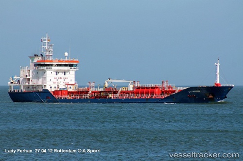
 TALAY
TALAY
Current Status
Where is the vessel?
TALAY is currently in 70 nm N of Maials, based on AIS data received about 2h ago.
Latest AIS update:
Current position: 42.51568° N, 30.26824° E (70 nm N of Maials)
Average speed (last 7 days): Loading…
Average speed (last 30 days): Loading…
Vessel profile: TALAY is a Oil/Chemical Tanker with dimensions m x m.
This page combines live AIS, route history, probable destination signals, nearby traffic, and port activity for practical vessel monitoring.
The current position of vessel TALAY is 42.51568 lat / 30.26824 lng. Updated: 2026-03-25 09:54:27 UTCNearest reference points:
- 54 nm SE of Sveti Nikola
- 45 nm N of RUMELI FENERI
- 19 nm NE of RUMELI FENERI
Currently sailing under the flag of Marshall Islands ![]()
Details:
Live Vessel TALAY Analytics (details, animations, etc.)
Recent AIS points (UTC):
2026-03-25 04:08:35 UTC · 42.48572, 28.97210 · SOG 10 kn · COG 87°2026-03-25 05:58:25 UTC · 42.49600, 29.38784 · SOG 10.4 kn · COG 86°
2026-03-25 07:53:08 UTC · 42.50431, 29.81979 · SOG 9.6 kn · COG 86°
2026-03-25 09:54:27 UTC · 42.51568, 30.26824 · SOG 10.3 kn · COG 89°