 vesseltracker.com
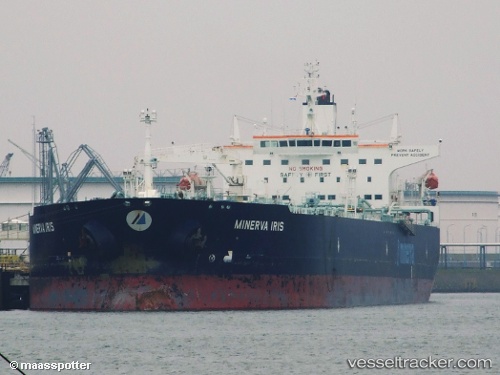
Vessel HELION IMO: 9285861, MMSI: 538012094 Crude Oil Tanker
UTC, 59.86335, 28.42150, course: 292, speed: 0
UTC, 59.85569, 28.40794, course: 150, speed: 4.2
2026-02-22 17:16:33 UTC, 59.85569, 28.40794, course: 150, speed: 4.2
Live AIS position:
UTC. Near VISTINO),
updated 2026-02-22 17:16:33 UTC.
Find the position of the vessel HELION on the map. The latter are known coordinates and path.
marine traffic ship tracker show on live map
The current position of vessel HELION is 59.85569 lat / 28.40794 lng. Updated: 2026-02-22 17:16:33 UTCCurrently sailing under the flag of Marshall Islands
Details:
Last coordinates of the vessel:
UTC, 59.86330, 28.42140, course: 291, speed: 0UTC, 59.86335, 28.42150, course: 292, speed: 0
UTC, 59.85569, 28.40794, course: 150, speed: 4.2
2026-02-22 17:16:33 UTC, 59.85569, 28.40794, course: 150, speed: 4.2