 vesseltracker.com
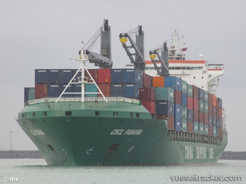
Vessel MAERSK NILE IMO: 9385972, MMSI: 538012122 Container Ship
UTC, 8.95348, -79.56759, course: 44, speed: 0
UTC, 8.95348, -79.56759, course: 42, speed: 0
2026-02-27 23:24:56 UTC, 8.95467, -79.56900, course: 78, speed: 1.1
Live AIS position:
UTC. Near Balboa),
updated 2026-02-27 23:24:56 UTC.
Find the position of the vessel MAERSK NILE on the map. The latter are known coordinates and path.
marine traffic ship tracker show on live map
The current position of vessel MAERSK NILE is 8.95467 lat / -79.56900 lng. Updated: 2026-02-27 23:24:56 UTCCurrently sailing under the flag of Marshall Islands
Details:
Last coordinates of the vessel:
UTC, 8.95350, -79.56767, course: 44, speed: 0.1UTC, 8.95348, -79.56759, course: 44, speed: 0
UTC, 8.95348, -79.56759, course: 42, speed: 0
2026-02-27 23:24:56 UTC, 8.95467, -79.56900, course: 78, speed: 1.1