 vesseltracker.com
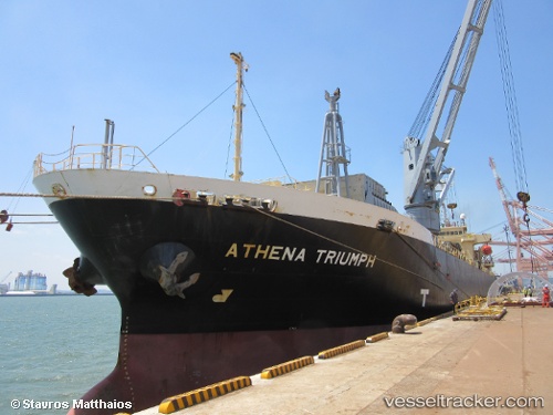
Vessel HARMONY OCEAN IMO: 9477608, MMSI: 538012161 General Cargo
UTC, -6.76667, 39.35167, course: 62, speed: 0.1
UTC, -6.76717, 39.35200, course: 33, speed: 0
2026-03-15 20:03:11 UTC, -6.76717, 39.35217, course: 34, speed: 0
Live Vessel HARMONY OCEAN Analytics (details, animations, etc.)
Live AIS position: UTC. Near Dar es Salaam), updated 2026-03-15 20:03:11 UTC.Find the position of the vessel HARMONY OCEAN on the map. The latter are known coordinates and path.
marine traffic ship tracker show on live map
The current position of vessel HARMONY OCEAN is -6.76717 lat / 39.35217 lng. Updated: 2026-03-15 20:03:11 UTCCurrently sailing under the flag of Marshall Islands
Details:
Last coordinates of the vessel:
UTC, -6.76717, 39.35233, course: 16, speed: 0.1UTC, -6.76667, 39.35167, course: 62, speed: 0.1
UTC, -6.76717, 39.35200, course: 33, speed: 0
2026-03-15 20:03:11 UTC, -6.76717, 39.35217, course: 34, speed: 0