 vesseltracker.com
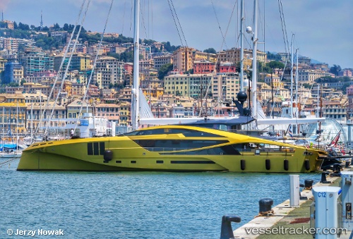
Vessel Khalilah IMO: 9744348, MMSI: 538071243 Sailing Vessel
UTC, 43.16866, 5.61119, course: 217, speed: 0
UTC, 43.16868, 5.61116, course: -1, speed: 0.1
2026-03-03 21:22:47 UTC, 43.16868, 5.61115, course: 218, speed: 0.1
Live AIS position:
UTC. Near LA CIOTAT),
updated 2026-03-03 21:22:47 UTC.
Find the position of the vessel Khalilah on the map. The latter are known coordinates and path.
marine traffic ship tracker show on live map
The current position of vessel Khalilah is 43.16868 lat / 5.61115 lng. Updated: 2026-03-03 21:22:47 UTCDetails:
Last coordinates of the vessel:
UTC, 43.16866, 5.61117, course: 218, speed: 0UTC, 43.16866, 5.61119, course: 217, speed: 0
UTC, 43.16868, 5.61116, course: -1, speed: 0.1
2026-03-03 21:22:47 UTC, 43.16868, 5.61115, course: 218, speed: 0.1