 vesseltracker.com
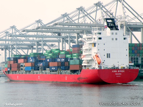
Vessel 538090571 IMO: 9357781, MMSI: 538090571
UTC, 3.98718, 105.99116, course: 33, speed: 13.2
UTC, 4.28667, 106.19333, course: -1, speed: 13
2026-01-31 17:44:24 UTC, 4.65042, 106.39670, course: 27, speed: 13.2
Live AIS position:
UTC. 31 nm N of Belanak Terminal),
updated 2026-01-31 17:44:24 UTC.
Find the position of the vessel 538090571 on the map. The latter are known coordinates and path.
marine traffic ship tracker show on live map
The current position of vessel 538090571 is 4.65042 lat / 106.39670 lng. Updated: 2026-01-31 17:44:24 UTCDetails:
Last coordinates of the vessel:
UTC, 3.59466, 105.71928, course: 31, speed: 13.2UTC, 3.98718, 105.99116, course: 33, speed: 13.2
UTC, 4.28667, 106.19333, course: -1, speed: 13
2026-01-31 17:44:24 UTC, 4.65042, 106.39670, course: 27, speed: 13.2