 vesseltracker.com
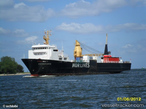
Vessel St X Maris Stella Iv IMO: 8322650, MMSI: 546011150 Palletized Cargo Ship
UTC, -16.69382, -148.94498, course: 215, speed: 13.4
UTC, -17.01015, -149.18689, course: 216, speed: 13.3
2026-02-23 07:23:37 UTC, -17.20667, -149.33667, course: -1, speed: 13
Live AIS position:
UTC. 18 nm SE of Tertiaroa),
updated 2026-02-23 07:23:37 UTC.
Find the position of the vessel St X Maris Stella Iv on the map. The latter are known coordinates and path.
marine traffic ship tracker show on live map
The current position of vessel St X Maris Stella Iv is -17.20667 lat / -149.33667 lng. Updated: 2026-02-23 07:23:37 UTCDetails:
Last coordinates of the vessel:
UTC, -16.18908, -148.55971, course: 217, speed: 13.5UTC, -16.69382, -148.94498, course: 215, speed: 13.4
UTC, -17.01015, -149.18689, course: 216, speed: 13.3
2026-02-23 07:23:37 UTC, -17.20667, -149.33667, course: -1, speed: 13
