 vesseltracker.com
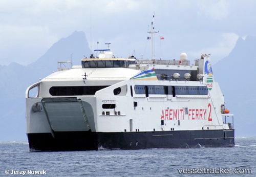
Vessel Aremiti Ferry Ii IMO: 9653824, MMSI: 546018300 Passenger Ro Ro Cargo Ship
UTC, -17.52694, -149.66071, course: 270, speed: 20
UTC, -17.53532, -149.57068, course: 69, speed: 5.7
2026-01-19 22:24:04 UTC, -17.53507, -149.56981, course: 72, speed: 0
Live AIS position:
UTC. Near Papeete),
updated 2026-01-19 22:24:04 UTC.
Find the position of the vessel Aremiti Ferry Ii on the map. The latter are known coordinates and path.
marine traffic ship tracker show on live map
The current position of vessel Aremiti Ferry Ii is -17.53507 lat / -149.56981 lng. Updated: 2026-01-19 22:24:04 UTCDetails:
Last coordinates of the vessel:
UTC, -17.52815, -149.59827, course: 94, speed: 19.7UTC, -17.52694, -149.66071, course: 270, speed: 20
UTC, -17.53532, -149.57068, course: 69, speed: 5.7
2026-01-19 22:24:04 UTC, -17.53507, -149.56981, course: 72, speed: 0