 vesseltracker.com
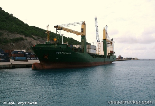
Vessel OCEAN KINGDOM IMO: 9202091, MMSI: 548650200 General Cargo Ship
UTC, 14.62589, 120.86567, course: -1, speed: 0
UTC, 14.62580, 120.86576, course: -1, speed: 0
2026-01-13 18:27:09 UTC, 14.62572, 120.86598, course: -1, speed: 0
Live AIS position:
UTC. Near Malabon),
updated 2026-01-13 18:27:09 UTC.
Find the position of the vessel OCEAN KINGDOM on the map. The latter are known coordinates and path.
marine traffic ship tracker show on live map
The current position of vessel OCEAN KINGDOM is 14.62572 lat / 120.86598 lng. Updated: 2026-01-13 18:27:09 UTCCurrently sailing under the flag of Philippines
OCEAN KINGDOM built in 2000 year
Deadweight:
8450 tDetails:
Last coordinates of the vessel:
UTC, 14.62581, 120.86571, course: -1, speed: 0UTC, 14.62589, 120.86567, course: -1, speed: 0
UTC, 14.62580, 120.86576, course: -1, speed: 0
2026-01-13 18:27:09 UTC, 14.62572, 120.86598, course: -1, speed: 0