 vesseltracker.com
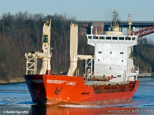
Vessel MC ZION IMO: 9031428, MMSI: 548720500 General Cargo Ship
UTC, 13.67183, 120.70217, course: 122, speed: 11.6
UTC, 13.50812, 121.06137, course: -1, speed: 11.6
2026-03-01 15:56:33 UTC, 13.31250, 121.43393, course: -1, speed: 12.3
Live AIS position:
UTC. 24 nm SE of Lobo),
updated 2026-03-01 15:56:33 UTC.
Find the position of the vessel MC ZION on the map. The latter are known coordinates and path.
marine traffic ship tracker show on live map
The current position of vessel MC ZION is 13.31250 lat / 121.43393 lng. Updated: 2026-03-01 15:56:33 UTCCurrently sailing under the flag of Philippines
MC ZION built in 1992 year
Deadweight:
4450 tDetails:
Last coordinates of the vessel:
UTC, 14.08917, 120.53050, course: -1, speed: 12UTC, 13.67183, 120.70217, course: 122, speed: 11.6
UTC, 13.50812, 121.06137, course: -1, speed: 11.6
2026-03-01 15:56:33 UTC, 13.31250, 121.43393, course: -1, speed: 12.3