 vesseltracker.com
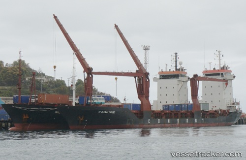
Vessel Ocean Freedom IMO: 9122825, MMSI: 553111656 Multi Purpose Carrier
UTC, 14.63232, 120.86018, course: 326, speed: 0
UTC, 14.63274, 120.86010, course: 223, speed: 0.1
2026-01-13 13:30:38 UTC, 14.63167, 120.86041, course: 157, speed: 0.1
Live AIS position:
UTC. Near Malabon),
updated 2026-01-13 13:30:38 UTC.
Find the position of the vessel Ocean Freedom on the map. The latter are known coordinates and path.
marine traffic ship tracker show on live map
The current position of vessel Ocean Freedom is 14.63167 lat / 120.86041 lng. Updated: 2026-01-13 13:30:38 UTCDetails:
Last coordinates of the vessel:
UTC, 14.63160, 120.86044, course: -1, speed: 0UTC, 14.63232, 120.86018, course: 326, speed: 0
UTC, 14.63274, 120.86010, course: 223, speed: 0.1
2026-01-13 13:30:38 UTC, 14.63167, 120.86041, course: 157, speed: 0.1