 vesseltracker.com
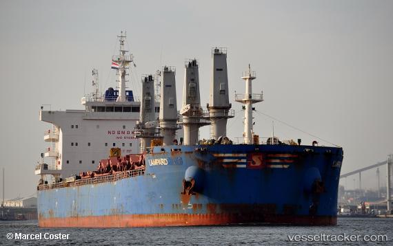
Vessel Lampard IMO: 9723980, MMSI: 563043700 Bulk Carrier
UTC, 24.82844, 66.97645, course: 30, speed: 0
UTC, 24.82847, 66.97632, course: 30, speed: 0.1
2026-02-04 08:13:31 UTC, 24.82848, 66.97632, course: 30, speed: 0.1
Live AIS position:
UTC. Near Karachi),
updated 2026-02-04 08:13:31 UTC.
Find the position of the vessel Lampard on the map. The latter are known coordinates and path.
marine traffic ship tracker show on live map
The current position of vessel Lampard is 24.82848 lat / 66.97632 lng. Updated: 2026-02-04 08:13:31 UTCDetails:
Last coordinates of the vessel:
UTC, 24.82852, 66.97641, course: 30, speed: 0UTC, 24.82844, 66.97645, course: 30, speed: 0
UTC, 24.82847, 66.97632, course: 30, speed: 0.1
2026-02-04 08:13:31 UTC, 24.82848, 66.97632, course: 30, speed: 0.1