 vesseltracker.com
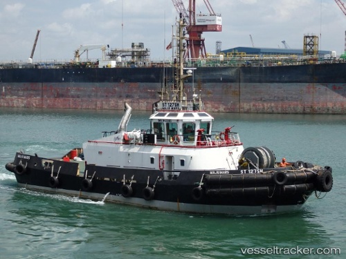
Vessel '563073580' IMO: 9423085, MMSI: 563073580
UTC, 1.28123, 103.73699, course: -1, speed: 2.6
UTC, 1.22243, 103.73192, course: -1, speed: 0.3
2026-01-31 09:55:36 UTC, 1.22204, 103.73144, course: -1, speed: 0.3
Live AIS position:
UTC. Near BUKOM ISLAND),
updated 2026-01-31 09:55:36 UTC.
Find the position of the vessel '563073580' on the map. The latter are known coordinates and path.
marine traffic ship tracker show on live map
The current position of vessel '563073580' is 1.22204 lat / 103.73144 lng. Updated: 2026-01-31 09:55:36 UTCDetails:
Last coordinates of the vessel:
UTC, 1.29293, 103.72392, course: -1, speed: 0.7UTC, 1.28123, 103.73699, course: -1, speed: 2.6
UTC, 1.22243, 103.73192, course: -1, speed: 0.3
2026-01-31 09:55:36 UTC, 1.22204, 103.73144, course: -1, speed: 0.3