 vesseltracker.com
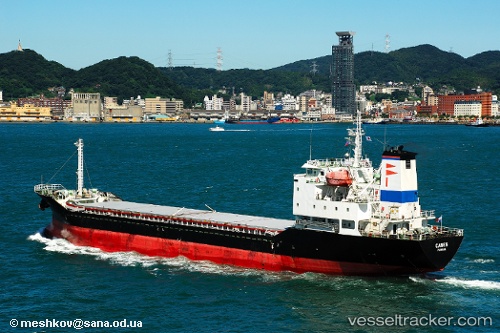
Vessel GLORY STAR IMO: 9294757, MMSI: 563093800
UTC, 37.47492, 119.31492, course: 288, speed: 0.1
UTC, 37.47473, 119.31487, course: 292, speed: 0
2026-01-19 21:59:40 UTC, 37.47422, 119.31405, course: 334, speed: 0.1
Live AIS position:
UTC. 16 nm NE of Weifang),
updated 2026-01-19 21:59:40 UTC.
Find the position of the vessel GLORY STAR on the map. The latter are known coordinates and path.
marine traffic ship tracker show on live map
The current position of vessel GLORY STAR is 37.47422 lat / 119.31405 lng. Updated: 2026-01-19 21:59:40 UTCDetails:
Last coordinates of the vessel:
UTC, 37.47447, 119.31452, course: 305, speed: 0UTC, 37.47492, 119.31492, course: 288, speed: 0.1
UTC, 37.47473, 119.31487, course: 292, speed: 0
2026-01-19 21:59:40 UTC, 37.47422, 119.31405, course: 334, speed: 0.1