 vesseltracker.com
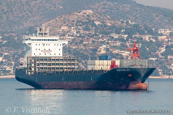
Vessel '563133800' IMO: 9744659, MMSI: 563133800
UTC, 1.28342, 103.76092, course: 120, speed: 0
UTC, 1.28340, 103.76100, course: 119, speed: 0
2026-02-19 00:23:06 UTC, 1.28342, 103.76091, course: 119, speed: 0
Live AIS position:
UTC. Near PASIR PANJANG Terminal),
updated 2026-02-19 00:23:06 UTC.
Find the position of the vessel '563133800' on the map. The latter are known coordinates and path.
marine traffic ship tracker show on live map
The current position of vessel '563133800' is 1.28342 lat / 103.76091 lng. Updated: 2026-02-19 00:23:06 UTCDetails:
Last coordinates of the vessel:
UTC, 1.28344, 103.76090, course: 120, speed: 0UTC, 1.28342, 103.76092, course: 120, speed: 0
UTC, 1.28340, 103.76100, course: 119, speed: 0
2026-02-19 00:23:06 UTC, 1.28342, 103.76091, course: 119, speed: 0