 vesseltracker.com
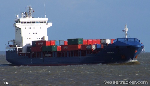
Vessel ATLANTIC EAST IMO: 9433444, MMSI: 563158700 Container Ship
UTC, 34.95979, 124.50855, course: -1, speed: 13.6
UTC, 35.46389, 124.08153, course: 327, speed: 13.3
2026-03-11 11:07:35 UTC, 35.61238, 123.95843, course: 330, speed: 13.4
Live Vessel ATLANTIC EAST Analytics (details, animations, etc.)
Live AIS position: UTC. 83 nm NW of Hongdo), updated 2026-03-11 11:07:35 UTC.Find the position of the vessel ATLANTIC EAST on the map. The latter are known coordinates and path.
marine traffic ship tracker show on live map
The current position of vessel ATLANTIC EAST is 35.61238 lat / 123.95843 lng. Updated: 2026-03-11 11:07:35 UTCCurrently sailing under the flag of Singapore
ATLANTIC EAST built in 2008 year
Deadweight:
8124 tDetails:
Last coordinates of the vessel:
UTC, 34.65812, 124.75904, course: 327, speed: 14.2UTC, 34.95979, 124.50855, course: -1, speed: 13.6
UTC, 35.46389, 124.08153, course: 327, speed: 13.3
2026-03-11 11:07:35 UTC, 35.61238, 123.95843, course: 330, speed: 13.4