 vesseltracker.com
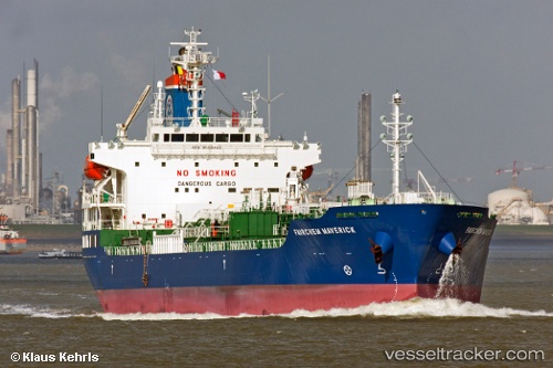
Vessel GINGA MARITA IMO: 9558402, MMSI: 563270500 Oil/Chemical Tanker
UTC, 29.85554, -93.94395, course: 219, speed: 0
UTC, 29.85556, -93.94396, course: 220, speed: 0
2026-02-27 18:09:39 UTC, 29.85554, -93.94397, course: 220, speed: 0
Live AIS position:
UTC. Near Port Arthur),
updated 2026-02-27 18:09:39 UTC.
Find the position of the vessel GINGA MARITA on the map. The latter are known coordinates and path.
marine traffic ship tracker show on live map
The current position of vessel GINGA MARITA is 29.85554 lat / -93.94397 lng. Updated: 2026-02-27 18:09:39 UTCCurrently sailing under the flag of Singapore
Details:
Last coordinates of the vessel:
UTC, 29.85555, -93.94397, course: 219, speed: 0UTC, 29.85554, -93.94395, course: 219, speed: 0
UTC, 29.85556, -93.94396, course: 220, speed: 0
2026-02-27 18:09:39 UTC, 29.85554, -93.94397, course: 220, speed: 0