 vesseltracker.com
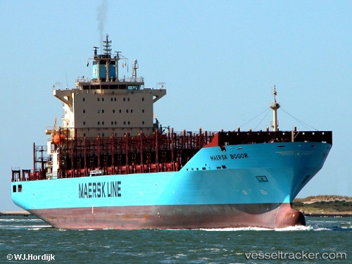
Vessel Maersk Bogor IMO: 9394882, MMSI: 563514000 Container Ship
UTC, 10.61167, -76.83333, course: -1, speed: 16
UTC, 10.70167, -76.54167, course: -1, speed: 15
2026-01-19 08:39:29 UTC, 10.80500, -76.20833, course: -1, speed: 15
Live AIS position:
UTC. 47 nm NW of Sociedad Portuaria Regional Cartagena),
updated 2026-01-19 08:39:29 UTC.
Find the position of the vessel Maersk Bogor on the map. The latter are known coordinates and path.
marine traffic ship tracker show on live map
The current position of vessel Maersk Bogor is 10.80500 lat / -76.20833 lng. Updated: 2026-01-19 08:39:29 UTCDetails:
Last coordinates of the vessel:
UTC, 10.42919, -77.40819, course: 73, speed: 15.8UTC, 10.61167, -76.83333, course: -1, speed: 16
UTC, 10.70167, -76.54167, course: -1, speed: 15
2026-01-19 08:39:29 UTC, 10.80500, -76.20833, course: -1, speed: 15