 vesseltracker.com
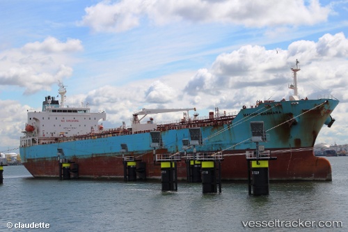
Vessel Maersk Marmara IMO: 9315056, MMSI: 564100000 Chemical Oil Products Tanker
UTC, 26.81250, -88.24154, course: 157, speed: 12.1
UTC, 26.81250, -88.24154, course: 157, speed: 12.1
2026-02-09 04:43:51 UTC, 26.64463, -88.13211, course: 160, speed: 11.6
Live AIS position:
UTC. 152 nm S of Port Eads),
updated 2026-02-09 04:43:51 UTC.
Find the position of the vessel Maersk Marmara on the map. The latter are known coordinates and path.
marine traffic ship tracker show on live map
The current position of vessel Maersk Marmara is 26.64463 lat / -88.13211 lng. Updated: 2026-02-09 04:43:51 UTCCurrently sailing under the flag of Singapore
Maersk Marmara built in 2006 year
Deadweight:
51182 tDetails:
Last coordinates of the vessel:
UTC, 27.58491, -88.69180, course: 153, speed: 13.4UTC, 26.81250, -88.24154, course: 157, speed: 12.1
UTC, 26.81250, -88.24154, course: 157, speed: 12.1
2026-02-09 04:43:51 UTC, 26.64463, -88.13211, course: 160, speed: 11.6