 vesseltracker.com
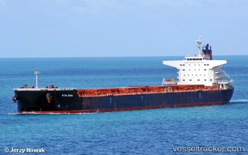
Vessel Rtm Dias IMO: 9629720, MMSI: 564808000 Bulk Carrier
UTC, -13.43124, 143.92242, course: 149, speed: 13.3
UTC, -14.12414, 144.48015, course: 118, speed: 13.1
2026-01-14 23:44:55 UTC, -14.16283, 144.56223, course: 120, speed: 12.8
Live AIS position:
UTC. 60 nm NW of LIZARD ISLAND),
updated 2026-01-14 23:44:55 UTC.
Find the position of the vessel Rtm Dias on the map. The latter are known coordinates and path.
marine traffic ship tracker show on live map
The current position of vessel Rtm Dias is -14.16283 lat / 144.56223 lng. Updated: 2026-01-14 23:44:55 UTCDetails:
Last coordinates of the vessel:
UTC, -13.06944, 143.75998, course: 159, speed: 12.9UTC, -13.43124, 143.92242, course: 149, speed: 13.3
UTC, -14.12414, 144.48015, course: 118, speed: 13.1
2026-01-14 23:44:55 UTC, -14.16283, 144.56223, course: 120, speed: 12.8