 vesseltracker.com
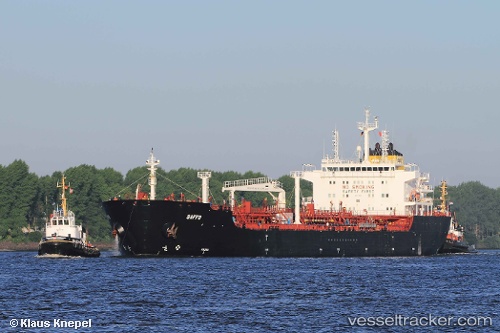
Vessel Maersk Kara IMO: 9374428, MMSI: 565186000 Chemical Oil Products Tanker
UTC, 19.66100, 57.71972, course: 235, speed: 0
UTC, 19.66101, 57.71972, course: 235, speed: 0
2026-01-19 11:45:11 UTC, 19.66100, 57.71971, course: 235, speed: 0
Live AIS position:
UTC. Near Duqm),
updated 2026-01-19 11:45:11 UTC.
Find the position of the vessel Maersk Kara on the map. The latter are known coordinates and path.
marine traffic ship tracker show on live map
The current position of vessel Maersk Kara is 19.66100 lat / 57.71971 lng. Updated: 2026-01-19 11:45:11 UTCCurrently sailing under the flag of Singapore
Maersk Kara built in 2008 year
Deadweight:
38396 tDetails:
Last coordinates of the vessel:
UTC, 19.66100, 57.71970, course: 235, speed: 0UTC, 19.66100, 57.71972, course: 235, speed: 0
UTC, 19.66101, 57.71972, course: 235, speed: 0
2026-01-19 11:45:11 UTC, 19.66100, 57.71971, course: 235, speed: 0