 vesseltracker.com
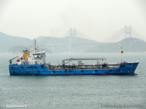
Vessel Coastal Mercury IMO: 9628790, MMSI: 565662000 Service Ship
UTC, 1.27726, 103.96885, course: 43, speed: 0
UTC, 1.27777, 103.96850, course: 52, speed: 0
2026-01-28 11:39:04 UTC, 1.27804, 103.96840, course: 59, speed: 0
Live AIS position:
UTC. Near Changi),
updated 2026-01-28 11:39:04 UTC.
Find the position of the vessel Coastal Mercury on the map. The latter are known coordinates and path.
marine traffic ship tracker show on live map
The current position of vessel Coastal Mercury is 1.27804 lat / 103.96840 lng. Updated: 2026-01-28 11:39:04 UTCCurrently sailing under the flag of Singapore
Coastal Mercury built in 2012 year
Deadweight:
2281 tDetails:
Last coordinates of the vessel:
UTC, 1.26813, 103.95790, course: 8, speed: 0.3UTC, 1.27726, 103.96885, course: 43, speed: 0
UTC, 1.27777, 103.96850, course: 52, speed: 0
2026-01-28 11:39:04 UTC, 1.27804, 103.96840, course: 59, speed: 0