 vesseltracker.com
Live AIS position:
9.25425° N, 79.90907° W UTC. Near Fuerte Davis),
updated 2025-11-21 16:46:18 UTC.
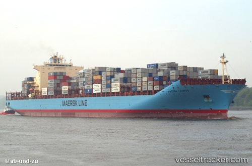
Find the position of the vessel Maersk Taurus on the map. The latter are known coordinates and path.
marine traffic ship tracker show on live map
The current position of vessel Maersk Taurus is 9.25425 lat / -79.90907 lng. Updated: 2025-11-21 16:46:18 UTCDetails:
Last coordinates of the vessel:
UTC, 9.06495, -79.66786, course: 314, speed: 9.3UTC, 9.16965, -79.82452, course: 311, speed: 10.9
UTC, 9.21501, -79.92173, course: 342, speed: 6.8
2025-11-21 16:46:18 UTC, 9.25425, -79.90907, course: 346, speed: 0.1