 vesseltracker.com
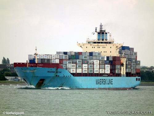
Vessel Maersk Batam IMO: 9355331, MMSI: 565810000 Container Ship
UTC, 53.52619, 9.92395, course: 304, speed: 0
UTC, 53.52620, 9.92395, course: 304, speed: 0
2026-01-17 00:43:03 UTC, 53.52621, 9.92394, course: 304, speed: 0
Live AIS position:
UTC. Near Altenwerder),
updated 2026-01-17 00:43:03 UTC.
Find the position of the vessel Maersk Batam on the map. The latter are known coordinates and path.
marine traffic ship tracker show on live map
The current position of vessel Maersk Batam is 53.52621 lat / 9.92394 lng. Updated: 2026-01-17 00:43:03 UTCDetails:
Last coordinates of the vessel:
UTC, 53.52620, 9.92396, course: 304, speed: 0UTC, 53.52619, 9.92395, course: 304, speed: 0
UTC, 53.52620, 9.92395, course: 304, speed: 0
2026-01-17 00:43:03 UTC, 53.52621, 9.92394, course: 304, speed: 0