 vesseltracker.com
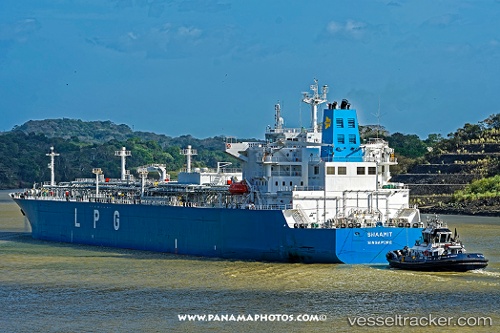
Find the position of the vessel Shaamit on the map. The latter are known coordinates and path.
marine traffic ship tracker show on live map
The current position of vessel Shaamit is 24.934766666667 lat / 53.021023333333 lng. Updated: 2025-09-29 03:39:07 UTCCurrently sailing under the flag of Singapore
Details:
Last coordinates of the vessel:
UTC, 24.589698333333, 52.55183, course: 65, speed: 12.6UTC, 24.743041666667, 52.773558333333, course: 81, speed: 12.1
UTC, 24.836851666667, 52.95459, course: 20, speed: 11.1
2025-09-29 03:39:07 UTC, 24.934766666667, 53.021023333333, course: 67, speed: 11.5