 vesseltracker.com
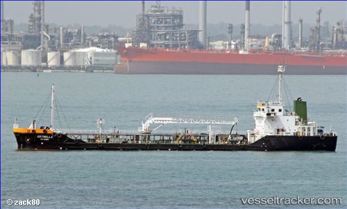
Vessel Brue IMO: 9735256, MMSI: 566163000 Service Ship
UTC, 1.29784, 104.05604, course: 83, speed: 6.3
UTC, 1.29553, 104.07361, course: 23, speed: 0.1
2026-01-30 02:03:37 UTC, 1.29845, 104.07869, course: 285, speed: 0
Live AIS position:
UTC. Near TANAH MERAH),
updated 2026-01-30 02:03:37 UTC.
Find the position of the vessel Brue on the map. The latter are known coordinates and path.
marine traffic ship tracker show on live map
The current position of vessel Brue is 1.29845 lat / 104.07869 lng. Updated: 2026-01-30 02:03:37 UTCCurrently sailing under the flag of Singapore
Details:
Last coordinates of the vessel:
UTC, 1.29380, 103.93810, course: 57, speed: 0UTC, 1.29784, 104.05604, course: 83, speed: 6.3
UTC, 1.29553, 104.07361, course: 23, speed: 0.1
2026-01-30 02:03:37 UTC, 1.29845, 104.07869, course: 285, speed: 0