 vesseltracker.com
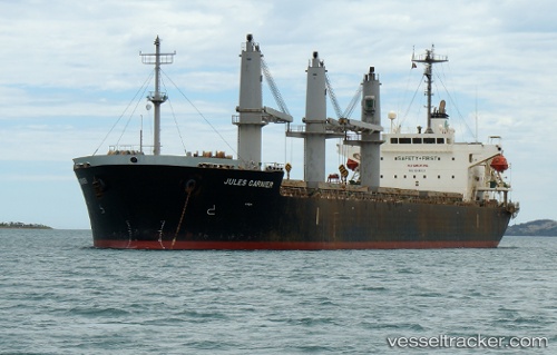
Vessel Hai Nam 79 IMO: 9266932, MMSI: 574003460 General Cargo Ship
UTC, 20.97467, 107.34833, course: 16, speed: 0
UTC, 20.97575, 107.34737, course: 75, speed: 0
2026-01-28 04:12:13 UTC, 20.97525, 107.34762, course: 49, speed: 0.1
Live AIS position:
UTC. Near Campha),
updated 2026-01-28 04:12:13 UTC.
Find the position of the vessel Hai Nam 79 on the map. The latter are known coordinates and path.
marine traffic ship tracker show on live map
The current position of vessel Hai Nam 79 is 20.97525 lat / 107.34762 lng. Updated: 2026-01-28 04:12:13 UTCCurrently sailing under the flag of Vietnam
Hai Nam 79 built in 2002 year
Deadweight:
28656 tDetails:
Last coordinates of the vessel:
UTC, 20.97512, 107.34772, course: 51, speed: 0UTC, 20.97467, 107.34833, course: 16, speed: 0
UTC, 20.97575, 107.34737, course: 75, speed: 0
2026-01-28 04:12:13 UTC, 20.97525, 107.34762, course: 49, speed: 0.1