 vesseltracker.com
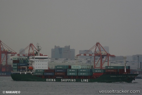
Vessel PROGRESS IMO: 9383510, MMSI: 574004660 Container Ship
UTC, 16.69435, 108.29273, course: -1, speed: 12.5
UTC, 16.28368, 108.44273, course: 141, speed: 13
2026-03-09 12:40:51 UTC, 16.28368, 108.44273, course: 141, speed: 13
Live Vessel PROGRESS Analytics (details, animations, etc.)
Live AIS position: UTC. 16 nm NE of Hai Son), updated 2026-03-09 12:40:51 UTC.Find the position of the vessel PROGRESS on the map. The latter are known coordinates and path.
marine traffic ship tracker show on live map
The current position of vessel PROGRESS is 16.28368 lat / 108.44273 lng. Updated: 2026-03-09 12:40:51 UTCCurrently sailing under the flag of Vietnam
PROGRESS built in 2008 year
Deadweight:
12550 tDetails:
Last coordinates of the vessel:
UTC, 17.20452, 108.00505, course: -1, speed: 12.3UTC, 16.69435, 108.29273, course: -1, speed: 12.5
UTC, 16.28368, 108.44273, course: 141, speed: 13
2026-03-09 12:40:51 UTC, 16.28368, 108.44273, course: 141, speed: 13