 vesseltracker.com
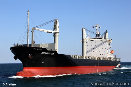
Vessel HAIAN CITY IMO: 9445007, MMSI: 574005640 Container Ship
UTC, 14.45530, 109.29212, course: 167, speed: 13.9
UTC, 14.21495, 109.36287, course: 169, speed: 14.6
2026-01-15 07:47:59 UTC, 13.91292, 109.42173, course: 170, speed: 14.7
Live AIS position:
UTC. 13 nm NE of Thi Nai Port),
updated 2026-01-15 07:47:59 UTC.
Find the position of the vessel HAIAN CITY on the map. The latter are known coordinates and path.
marine traffic ship tracker show on live map
The current position of vessel HAIAN CITY is 13.91292 lat / 109.42173 lng. Updated: 2026-01-15 07:47:59 UTCCurrently sailing under the flag of Vietnam
HAIAN CITY built in 2008 year
Deadweight:
21458 tDetails:
Last coordinates of the vessel:
UTC, 14.75842, 109.22452, course: 169, speed: 13.9UTC, 14.45530, 109.29212, course: 167, speed: 13.9
UTC, 14.21495, 109.36287, course: 169, speed: 14.6
2026-01-15 07:47:59 UTC, 13.91292, 109.42173, course: 170, speed: 14.7