 vesseltracker.com
Find the position of the vessel SKY 2 on the map. The latter are known coordinates and path.
marine traffic ship tracker show on live map
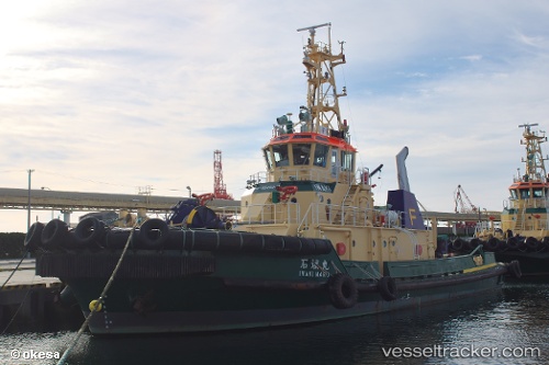
The current position of vessel SKY 2 is 10.489795 lat / 106.99387666667 lng. Updated: 2025-10-16 00:42:12 UTCCurrently sailing under the flag of Vietnam
SKY 2 built in 2010 year
Deadweight:
283 tDetails:
Last coordinates of the vessel:
UTC, 10.489791666667, 106.99391333333, course: -1, speed: 0UTC, 10.489806666667, 106.99387166667, course: -1, speed: 0.1
UTC, 10.488333333333, 106.99333333333, course: -1, speed: 0
2025-10-16 00:42:12 UTC, 10.489795, 106.99387666667, course: -1, speed: 0