 vesseltracker.com
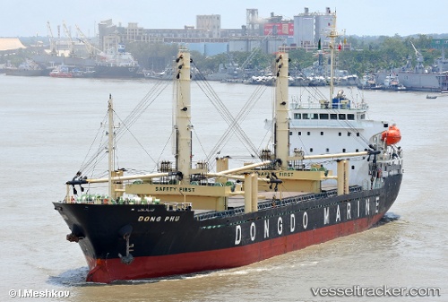
Vessel Dong Phu IMO: 9525687, MMSI: 574433000 General Cargo Ship
UTC, -1.04710, 123.08250, course: 276, speed: 7.4
UTC, -1.04710, 123.08250, course: 276, speed: 7.4
2026-02-27 17:14:20 UTC, -1.04710, 123.08250, course: 276, speed: 7.4
Live Vessel Dong Phu Analytics (details, animations, etc.)
Live AIS position: UTC. 18 nm E of LUWUK), updated 2026-02-27 17:14:20 UTC.Find the position of the vessel Dong Phu on the map. The latter are known coordinates and path.
marine traffic ship tracker show on live map
The current position of vessel Dong Phu is -1.04710 lat / 123.08250 lng. Updated: 2026-02-27 17:14:20 UTCDetails:
Last coordinates of the vessel:
UTC, -1.01385, 123.44562, course: 226, speed: 8.2UTC, -1.04710, 123.08250, course: 276, speed: 7.4
UTC, -1.04710, 123.08250, course: 276, speed: 7.4
2026-02-27 17:14:20 UTC, -1.04710, 123.08250, course: 276, speed: 7.4