 vesseltracker.com
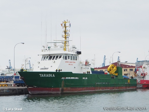
Vessel Olga IMO: 8964393, MMSI: 577434000 Offshore Support Vessel
UTC, -33.02111, 17.94812, course: 46, speed: 0
UTC, -33.02114, 17.94812, course: 47, speed: 0
2026-01-29 05:14:20 UTC, -33.02114, 17.94810, course: 47, speed: 0
Live AIS position:
UTC. Near SALDANHA),
updated 2026-01-29 05:14:20 UTC.
Find the position of the vessel Olga on the map. The latter are known coordinates and path.
marine traffic ship tracker show on live map
The current position of vessel Olga is -33.02114 lat / 17.94810 lng. Updated: 2026-01-29 05:14:20 UTCCurrently sailing under the flag of Vanuatu
Olga built in 2000 year
Details:
Last coordinates of the vessel:
UTC, -33.02114, 17.94810, course: 46, speed: 0UTC, -33.02111, 17.94812, course: 46, speed: 0
UTC, -33.02114, 17.94812, course: 47, speed: 0
2026-01-29 05:14:20 UTC, -33.02114, 17.94810, course: 47, speed: 0