 vesseltracker.com
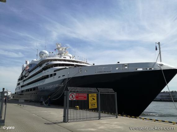
Vessel Le Dumont Durville IMO: 9814052, MMSI: 578001200 Cruise Ship
UTC, 35.88194, 14.51751, course: -1, speed: 0
UTC, 35.88193, 14.51751, course: 181, speed: 0
2026-03-05 00:11:27 UTC, 35.88167, 14.51833, course: -1, speed: 0
Live Vessel Le Dumont Durville Analytics (details, animations, etc.)
Live AIS position: UTC. Near Birgu (Vittoriosa)), updated 2026-03-05 00:11:27 UTC.Find the position of the vessel Le Dumont Durville on the map. The latter are known coordinates and path.
marine traffic ship tracker show on live map
The current position of vessel Le Dumont Durville is 35.88167 lat / 14.51833 lng. Updated: 2026-03-05 00:11:27 UTCCurrently sailing under the flag of Wallis Futuna Is
Details:
Last coordinates of the vessel:
UTC, 35.88193, 14.51750, course: 181, speed: 0UTC, 35.88194, 14.51751, course: -1, speed: 0
UTC, 35.88193, 14.51751, course: 181, speed: 0
2026-03-05 00:11:27 UTC, 35.88167, 14.51833, course: -1, speed: 0