 vesseltracker.com
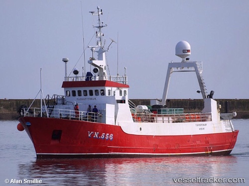
Vessel Palinurus IMO: 5289950, MMSI: 601169000 Fishing Vessel
UTC, -33.96521, 25.64038, course: -1, speed: 0
UTC, -33.96520, 25.64037, course: -1, speed: 0
2026-01-16 09:38:36 UTC, -33.96525, 25.64039, course: -1, speed: 0
Live AIS position:
UTC. Near Humewood),
updated 2026-01-16 09:38:36 UTC.
Find the position of the vessel Palinurus on the map. The latter are known coordinates and path.
marine traffic ship tracker show on live map
The current position of vessel Palinurus is -33.96525 lat / 25.64039 lng. Updated: 2026-01-16 09:38:36 UTCDetails:
Last coordinates of the vessel:
UTC, -33.96522, 25.64037, course: -1, speed: 0UTC, -33.96521, 25.64038, course: -1, speed: 0
UTC, -33.96520, 25.64037, course: -1, speed: 0
2026-01-16 09:38:36 UTC, -33.96525, 25.64039, course: -1, speed: 0