 vesseltracker.com
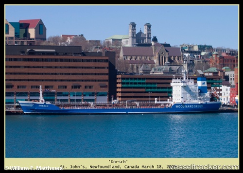
Vessel AL MANSOUR IMO: 8007195, MMSI: 620551000
UTC, 29.64063, 48.78892, course: -1, speed: 0
UTC, 29.64167, 48.78833, course: -1, speed: 0
2026-01-14 11:44:49 UTC, 29.64054, 48.78868, course: -1, speed: 0
Live AIS position:
UTC. Near Basrah Oil Terminal),
updated 2026-01-14 11:44:49 UTC.
Find the position of the vessel AL MANSOUR on the map. The latter are known coordinates and path.
marine traffic ship tracker show on live map
The current position of vessel AL MANSOUR is 29.64054 lat / 48.78868 lng. Updated: 2026-01-14 11:44:49 UTCDetails:
Last coordinates of the vessel:
UTC, 29.64015, 48.78988, course: -1, speed: 0UTC, 29.64063, 48.78892, course: -1, speed: 0
UTC, 29.64167, 48.78833, course: -1, speed: 0
2026-01-14 11:44:49 UTC, 29.64054, 48.78868, course: -1, speed: 0