 vesseltracker.com
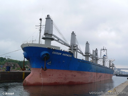
Vessel MOAYAD Y IMO: 9135482, MMSI: 620999048 Bulk Carrier
UTC, 40.76477, 29.64456, course: 277, speed: 0
UTC, 40.76479, 29.64461, course: 276, speed: 0
2026-02-24 06:12:26 UTC, 40.76499, 29.64462, course: 268, speed: 0
Live AIS position:
UTC. Near HEREKE),
updated 2026-02-24 06:12:26 UTC.
Find the position of the vessel MOAYAD Y on the map. The latter are known coordinates and path.
marine traffic ship tracker show on live map
The current position of vessel MOAYAD Y is 40.76499 lat / 29.64462 lng. Updated: 2026-02-24 06:12:26 UTCCurrently sailing under the flag of Comoros
Details:
Last coordinates of the vessel:
UTC, 40.76485, 29.64460, course: 275, speed: 0UTC, 40.76477, 29.64456, course: 277, speed: 0
UTC, 40.76479, 29.64461, course: 276, speed: 0
2026-02-24 06:12:26 UTC, 40.76499, 29.64462, course: 268, speed: 0