 vesseltracker.com
Find the position of the vessel Kiwala on the map. The latter are known coordinates and path.
marine traffic ship tracker show on live map
The current position of vessel Kiwala is 59.8116 lat / 28.407 lng. Updated: 2025-05-05 15:59:15 UTCCurrently sailing under the flag of Djibouti
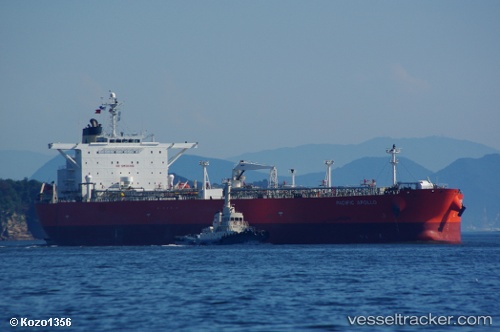
Kiwala built in 2007 year
Port of registry:
Hong Kong (city and special administrative region of China)Deadweight:
115577 tPayload_mass:
115577 tonneGross tonnage:
59164Service entry:
2007-01-01T00:00:00ZManufacturer:
Sasebo Heavy Industries (Japanese machinery and shipbuilding company)
Details:
Last coordinates of the vessel:
UTC, 59.8112, 28.4068, course: 285, speed: 0.1UTC, 59.8116, 28.407, course: 275, speed: 0
UTC, 59.8116, 28.407, course: 275, speed: 0
2025-05-05 15:59:15 UTC, 59.8116, 28.407, course: 275, speed: 0