 vesseltracker.com
Find the position of the vessel KANHA on the map. The latter are known coordinates and path.
marine traffic ship tracker show on live map
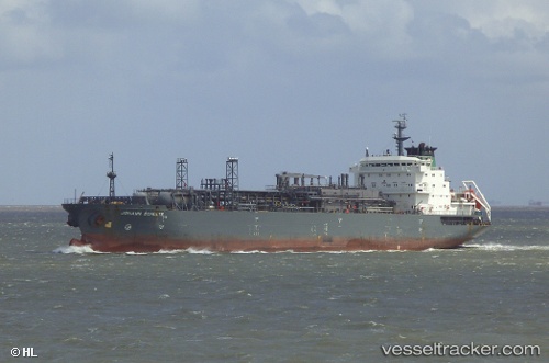
The current position of vessel KANHA is 25.3995 lat / 56.5142 lng. Updated: 2024-12-07 06:22:56 UTCCurrently sailing under the flag of Gabon
KANHA built in 1998 year
Port of registry:
Douglas (capital city of the Isle of Man)Deadweight:
18111 tPayload_mass:
18111 tonneGross tonnage:
15180Service entry:
1998-01-01T00:00:00ZManufacturer:
Jiangnan Shipyard (shipyard)
Details:
Last coordinates of the vessel:
2024-12-07 06:22:56 UTC, 25.3995, 56.5142, course: 29, speed: 0.1