 vesseltracker.com
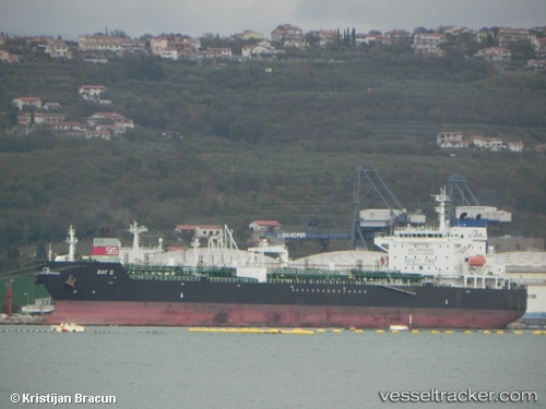
Find the position of the vessel KHALASI on the map. The latter are known coordinates and path.
marine traffic ship tracker show on live map
The current position of vessel KHALASI is 34.7226 lat / 127.806 lng. Updated: 2025-03-31 06:02:08 UTCCurrently sailing under the flag of Gabon
KHALASI built in 2006 year
Deadweight:
40158 tPayload_mass:
40158 tonneGross tonnage:
25431Service entry:
2006-01-01T00:00:00ZDetails:
Last coordinates of the vessel:
UTC, 34.7226, 127.807, course: 2, speed: 0UTC, 34.7227, 127.807, course: 359, speed: 0
UTC, 34.7226, 127.806, course: 3, speed: 0
2025-03-31 06:02:08 UTC, 34.7226, 127.806, course: 5, speed: 0