 vesseltracker.com
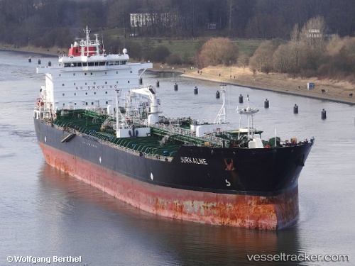
Find the position of the vessel KATY on the map. The latter are known coordinates and path.
marine traffic ship tracker show on live map
The current position of vessel KATY is 49.089 lat / 140.298 lng. Updated: 2025-02-22 15:50:19 UTCCurrently sailing under the flag of Gabon
KATY built in 2006 year
Port of registry:
Majuro (capital of the Marshall Islands)Deadweight:
52620 tPayload_mass:
52620 tonneGross tonnage:
30681Service entry:
2006-01-01T00:00:00ZManufacturer:
3. Maj (Croatian shipyard)
Details:
Last coordinates of the vessel:
UTC, 49.089, 140.298, course: 300, speed: 0UTC, 49.089, 140.298, course: 300, speed: 0
UTC, 49.089, 140.298, course: 300, speed: 0
2025-02-22 15:50:19 UTC, 49.089, 140.298, course: 300, speed: 0