 vesseltracker.com
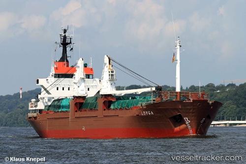
Find the position of the vessel LOYGA on the map. The latter are known coordinates and path.
marine traffic ship tracker show on live map
The current position of vessel LOYGA is 31.21210 lat / 29.74250 lng. Updated: 2025-10-01 21:57:37 UTCCurrently sailing under the flag of Guinea-Bissau
LOYGA built in 1981 year
Deadweight:
6154 tDetails:
Last coordinates of the vessel:
UTC, 31.21235, 29.74247, course: -1, speed: 0.2UTC, 31.21215, 29.74245, course: -1, speed: 0.2
UTC, 31.21212, 29.74245, course: -1, speed: 0.1
2025-10-01 21:57:37 UTC, 31.21210, 29.74250, course: -1, speed: 0.1