 vesseltracker.com
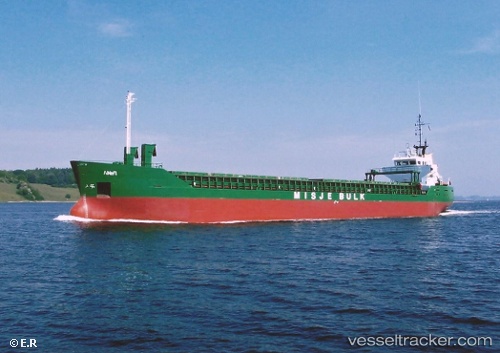
Vessel NOUR 1 IMO: 8914295, MMSI: 630001154 General Cargo
UTC, 37.70795, 24.06078, course: -1, speed: 0
UTC, 37.70795, 24.06078, course: -1, speed: 0
2026-03-04 14:30:30 UTC, 37.08138, 24.53570, course: -1, speed: 7.8
Live Vessel NOUR 1 Analytics (details, animations, etc.)
Live AIS position: UTC. Near Sériphos), updated 2026-03-04 14:30:30 UTC.Find the position of the vessel NOUR 1 on the map. The latter are known coordinates and path.
marine traffic ship tracker show on live map
The current position of vessel NOUR 1 is 37.08138 lat / 24.53570 lng. Updated: 2026-03-04 14:30:30 UTCCurrently sailing under the flag of Guinea
Details:
Last coordinates of the vessel:
UTC, 37.71583, 24.07512, course: -1, speed: 0.1UTC, 37.70795, 24.06078, course: -1, speed: 0
UTC, 37.70795, 24.06078, course: -1, speed: 0
2026-03-04 14:30:30 UTC, 37.08138, 24.53570, course: -1, speed: 7.8