 vesseltracker.com
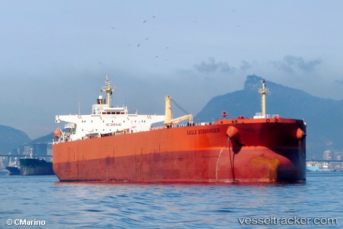
Find the position of the vessel KRUGER on the map. The latter are known coordinates and path.
marine traffic ship tracker show on live map
The current position of vessel KRUGER is 39.17107 lat / 25.43298 lng. Updated: 2025-11-02 23:48:46 UTCCurrently sailing under the flag of Guinea
KRUGER built in 2009 year
Deadweight:
105355 tDetails:
Last coordinates of the vessel:
UTC, 38.65038, 25.09072, course: 19, speed: 6UTC, 38.84750, 25.20618, course: 28, speed: 5.9
UTC, 39.01893, 25.33023, course: 29, speed: 6
2025-11-02 23:48:46 UTC, 39.17107, 25.43298, course: 25, speed: 6.2