 vesseltracker.com
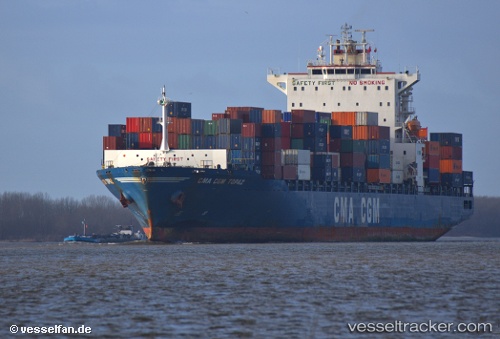
Vessel Cma Cgm Topaz IMO: 9397602, MMSI: 636014169 Container Ship
UTC, 35.89602, 19.61356, course: 88, speed: 17.7
UTC, 35.90817, 20.07643, course: 87, speed: 13.5
2026-01-14 18:34:43 UTC, 35.91078, 20.34506, course: 87, speed: 13.5
Live AIS position:
UTC. 86 nm SW of Methoni),
updated 2026-01-14 18:34:43 UTC.
Find the position of the vessel Cma Cgm Topaz on the map. The latter are known coordinates and path.
marine traffic ship tracker show on live map
The current position of vessel Cma Cgm Topaz is 35.91078 lat / 20.34506 lng. Updated: 2026-01-14 18:34:43 UTCCurrently sailing under the flag of Liberia
Cma Cgm Topaz built in 2009 year
Deadweight:
52366 tDetails:
Last coordinates of the vessel:
UTC, 35.89478, 19.49028, course: 88, speed: 17.7UTC, 35.89602, 19.61356, course: 88, speed: 17.7
UTC, 35.90817, 20.07643, course: 87, speed: 13.5
2026-01-14 18:34:43 UTC, 35.91078, 20.34506, course: 87, speed: 13.5