 vesseltracker.com
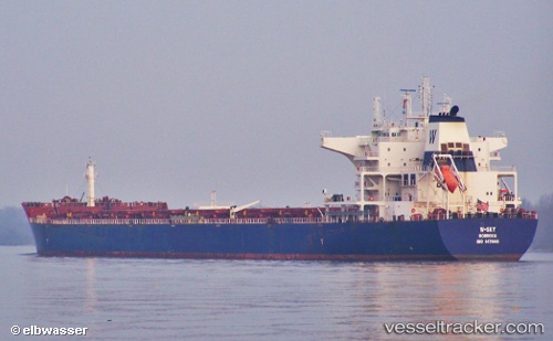
Vessel W sky IMO: 9476666, MMSI: 636014568 Bulk Carrier
UTC, 15.48916, 108.75424, course: 346, speed: 0.4
UTC, 15.48964, 108.75525, course: 319, speed: 0.6
2026-01-30 01:53:36 UTC, 15.48947, 108.75508, course: 320, speed: 0.6
Live AIS position:
UTC. Near Ky Ha Terminal),
updated 2026-01-30 01:53:36 UTC.
Find the position of the vessel W sky on the map. The latter are known coordinates and path.
marine traffic ship tracker show on live map
The current position of vessel W sky is 15.48947 lat / 108.75508 lng. Updated: 2026-01-30 01:53:36 UTCDetails:
Last coordinates of the vessel:
UTC, 15.48833, 108.75167, course: -1, speed: 0UTC, 15.48916, 108.75424, course: 346, speed: 0.4
UTC, 15.48964, 108.75525, course: 319, speed: 0.6
2026-01-30 01:53:36 UTC, 15.48947, 108.75508, course: 320, speed: 0.6