 vesseltracker.com
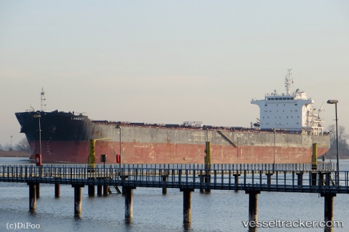
Find the position of the vessel Lambay on the map. The latter are known coordinates and path.
marine traffic ship tracker show on live map
The current position of vessel Lambay is 44.72906 lat / 37.78596 lng. Updated: 2025-10-07 21:43:14 UTCCurrently sailing under the flag of Liberia
Lambay built in 2011 year
Deadweight:
75200 tDetails:
Last coordinates of the vessel:
UTC, 44.72907, 37.78596, course: 319, speed: 0UTC, 44.72906, 37.78596, course: 319, speed: 0
UTC, 44.72906, 37.78596, course: 319, speed: 0
2025-10-07 21:43:14 UTC, 44.72906, 37.78596, course: 319, speed: 0