 vesseltracker.com
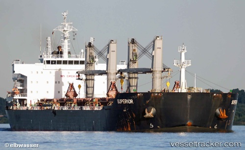
Vessel Superior IMO: 9553220, MMSI: 636015447 Bulk Carrier
UTC, 38.63241, 120.19537, course: 97, speed: 10.3
UTC, 38.56579, 120.74097, course: 100, speed: 11.8
2026-02-03 22:31:26 UTC, 38.42017, 121.23404, course: 114, speed: 12.3
Live AIS position:
UTC. 16 nm S of Lushun New Pt),
updated 2026-02-03 22:31:26 UTC.
Find the position of the vessel Superior on the map. The latter are known coordinates and path.
marine traffic ship tracker show on live map
The current position of vessel Superior is 38.42017 lat / 121.23404 lng. Updated: 2026-02-03 22:31:26 UTCCurrently sailing under the flag of Liberia
Superior built in 2012 year
Deadweight:
56556 tDetails:
Last coordinates of the vessel:
UTC, 38.64630, 119.88544, course: 98, speed: 10UTC, 38.63241, 120.19537, course: 97, speed: 10.3
UTC, 38.56579, 120.74097, course: 100, speed: 11.8
2026-02-03 22:31:26 UTC, 38.42017, 121.23404, course: 114, speed: 12.3